Aerial mapping done right
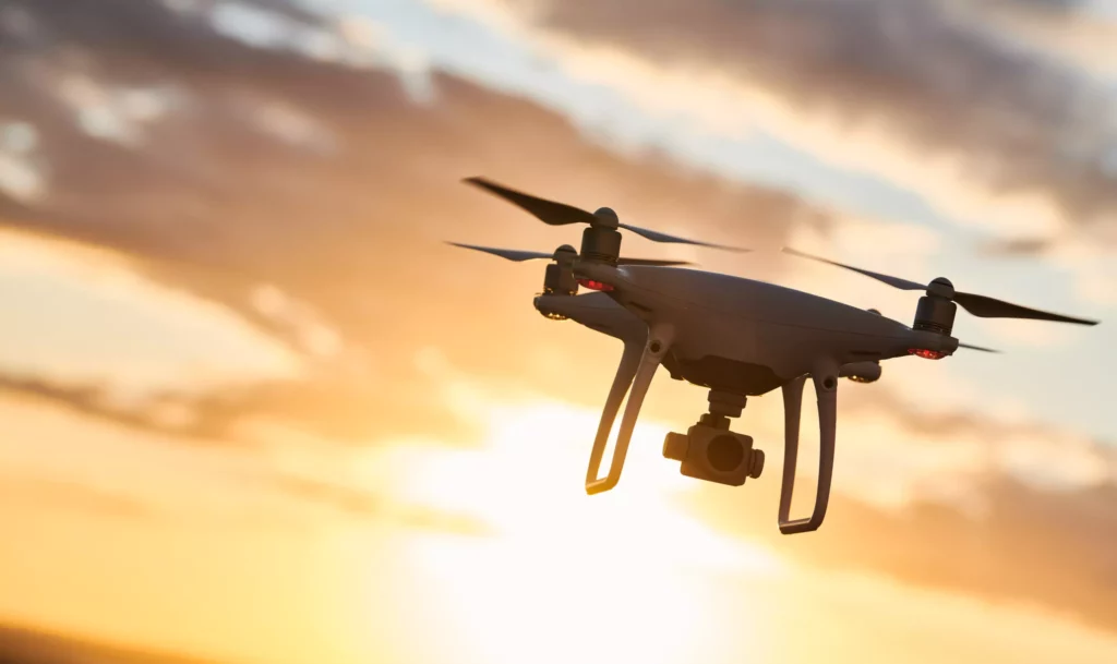
The rising popularity and increasing availability of Unmanned Aircraft Systems (UAS) such as drones is changing the construction industry and making it much easier and more efficient to map and track the progress of critical infrastructure projects like building roads and highways.
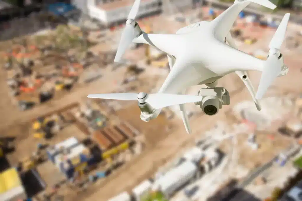
Gone are the days of sending workers trudging out to the field to manually measure and monitor a project’s process. Instead, surveyors and quality managers can get all the information they need from drones flown by qualified pilots. The quality of the provided drone mapping, however, is directly related to the set-up and preparation process. Failure to set up the equipment and plan the flight path properly can render the information contained in the drone images useless.
Ensuring survey-grade accuracy when conducting drone-based aerial mappingThe term aerial mapping refers to a technique that captures photographs and measurements from above using unmanned drone... More is not a simple task, yet it is crucial to the success of the project. The answer lies in careful preparation. To ensure that the images captured during the flight will be exactly what is needed, drone operators need to follow simple best practices for optimizing Ground Control Point (GCP) placement and tagging and designing the drone flight path.
A strong start – general set-up guidelines
When using a drone for area mapping, the objective is to produce a highly accurate 3D model of the project area. Accurate and detailed drone imagery can meaningfully display how a project is progressing and also allow multiple stakeholders across the project lifecycle to identify any red flags or problems that need to be addressed. The following steps can be taken before a drone even takes off to ensure that the best quality and most useful images will be captured:
- Camera set-up: in most cases, the drone should be set at a 90-degree angle, while the camera is placed at a 65-degree angle to the horizon.
- Overlap: the drone captures images at set intervals as it flies back and forth in straight lines over the area. In order to get the most precise images, it is important to set those intervals so there is at least 75% front overlap (80% is ideal) and 65% side overlap (70% is ideal).
- Drone height: operators must adjust the settings of the altitude at which the drone will fly to ensure that the pixel resolution of the resulting images is sufficient, and the GSD (Ground Sampling Distance) is less than 2 cm. For example, when using a 20-megapixel camera, drone height should be set at 165-190 feet (50-60 meters) and when using a 40-megapixel camera, drone height should be set at 328-393 feet (100-120 meters).
Once the appropriate settings are made, it is important to try to maintain a constant uniform distance from the ground throughout the flight. So, in cases where the drone will be flown over hilly terrain, operators should consider scheduling separate flights for each elevation level to ensure the most accurate mapping of each area.
The importance of GCPs
There are three main parts to the aerial mappingThe term aerial mapping refers to a technique that captures photographs and measurements from above using unmanned drone... More process:
- Setting up the area that will be photographed, including GCP marking and GCP tagging
- Planning the drone flight path
- The photogrammetryPhotogrammetry is the science of obtaining accurate measurements and three-dimensional information from photographs. It ... More process of creating a 3D model from the images
The optimal use of GCPs is essential to ensuring the survey-grade accuracy of the map. By clearly identifying and marking actual locations on the ground, the drone software will be able to use those known locations when creating the digital map. The first instance of GCP marking during a project is the most laborious and time consuming as it must be done manually. However, it is worth the initial investment in GCP marking as the better GCP placement, the better the resulting aerial map. There are four main things to remember when choosing the locations and distribution of the GCPs:
- Precision – they must be placed and surveyed in an exact location with specific GPS coordinates.
- Immobility – each GCP must be immovable to ensure that it will always be in the same location and can be used for future flights.
- Clear markings – the GCP must have a clear visible marking that the drone will be able to identify from its flight height.
Distribution – the size and topography of the location to be mapped must be considered to ensure that the GCPs are well-spaced out and accurately reflect the shape of the location.
RTK vs. non-RTK
The general rule of thumb is that you will need at least four GCPs in a small area and then potentially many more as the size of the area to be mapped grows. The type of drone to be deployed plays a large role in determining the number of GCPs that will be needed. A drone equipped with real time kinematic (RTK) capabilities requires fewer GCPs and best practice would be to place one every ¼ mile (400 meters). For non-RTK drones, GCPs should be placed every 490 feet (150 meters). Learn more in our blog post about how to choose between RTK and non-RTK.
Best flight patterns for success
The optimal drone flight pattern depends on the nature of the area to be surveyed. An agricultural field requires different treatment than a telecom infrastructure, solar farm, highway or road project. The following best practices, however, are relevant to all projects when planning the drone flight path:
- Elevation – flying too high will result in blurry and unusable images. If using a 20-megapixel camera the drone should fly between 165-190 feet (50-60m) and no higher than 230 feet (70m). With a 40-megapixel camera, the drone can go 328-393 feet (100-120m) with a max of 460 feet (140m).
- Uniform distance – ensure that the entire flight takes place over a uniform distance between the drone and the ground, which means accounting for mountains or other height variances in the flight path.
- Overlap – a 80% horizontal overlap and 70% vertical overlap will provide the most accurate images.
Best practices courtesy of Datumate
Datumate’s platform makes it easy to put these aerial mappingThe term aerial mapping refers to a technique that captures photographs and measurements from above using unmanned drone... More best practices into practice, resulting in survey-grade accuracy and an efficient way to track and monitor progress of infrastructure constructionInfrastructure construction refers to the process of designing, planning, and building physical structures and facilitie... More projects.
Information is easily uploaded to DatuBIM for full analysis and creation of survey-grade 3D models. The system is drone and camera agnostic, which means you can implement our solution fast using your existing equipment.


